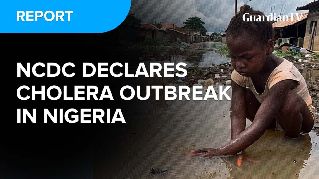
Makoko is a neighbourhood across the 3rd Mainland Bridge located on the coast of mainland Lagos. A third of the community is built on stilts along the lagoon and the rest is on the land. Since land mapping proves difficult in this area, Code for Africa (CfAfrica) is currently using fixed-wing drones to photograph and algorithmically map the community, training 5-7 women as drone pilots. Land-based data collectors will then help annotate the aerial maps with key buildings and infrastructure, and how they are used. The resulting open geodata will for the first time give community leaders, residents, planners, and development agencies exact intel on everything from schools and clinics, to water sources, sewers, roads, markets and homes in Makoko. CfAfrica will make the data available in community gathering points to help residents use it for better planning or campaigns.